More snow and ice across nearly all of UK as cold snap continues
BBC | 07.01.2026 07:10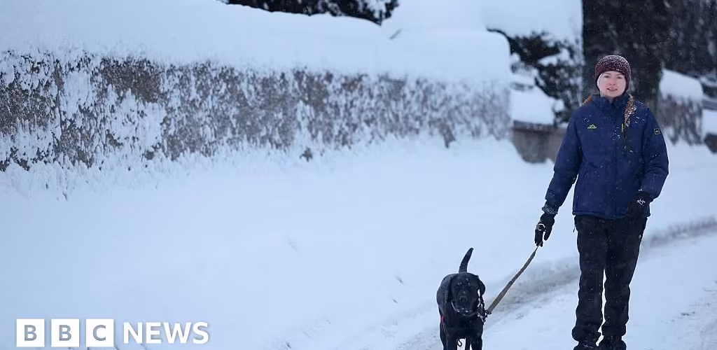
More snow and ice is set to hit the UK, as the bitterly cold weather continues with nearly all of the country facing yellow warnings.
Ice warnings across vast parts of England, Wales, Northern Ireland and parts of Scotland came into effect on Tuesday evening and will last until Wednesday morning, while a snow and ice warning will continue for northern Scotland.
The Met Office has advised there could be injuries from slips and falls as well as icy patches on some roads - while the north of Scotland could also see disruption to air and rail travel as well as power cuts.
It comes as more than a 1,000 schools closed on Tuesday due to snowfall and low temperatures with train services also disrupted.
Scotland and Northern Ireland are forecast to see a drop in temperatures on Wednesday compared to Tuesday.
As of Tuesday evening, almost all of the UK was covered by the Met Office's warnings:
- A yellow warning for ice (19:31 GMT Tuesday - 10:00 Wednesday) covers parts of Scotland and most of England and Wales
- A yellow warning for ice (18:00 GMT Tuesday - 11:00 Wednesday) covers all counties in Northern Ireland
- A yellow warning for snow and ice (midnight Tuesday - 23:59 Wednesday) covers the northern parts of Scotland and replaces a similar wider warning across more of Scotland
'Weather bomb' storm
The recent wintry conditions have been driven by Storm Goretti which continues its approach towards the UK.
Named as the first storm of the year by French forecasters, the centre of Storm Goretti is due to pass either through the English Channel or over the English Channel coastal counties, according to BBC Weather.
The storm is still expected mainly impact England and Wales - with the biggest chance of significant snow through Wales and the Midlands, where there will be 5 to 10cm.
Goretti will likely undergo "explosive cyclogenesis" on Thursday - sometimes called a "weather bomb".
The term is used where the central pressure drops by 1mb an hour over a 24 hour period. Explosive cyclogenesis is generally a sign of a storm that could bring strong winds.
What’s the best way to de-ice your car windscreen?
The cold weather looks set to continue until at least the end of the week and there will be the chance of further snow in places.
The greatest likelihood of significant snow will be through Wales and the Midlands where there will be 5-10cm, and perhaps in excess of 20cm, especially into the hills.
Tuesday saw widespread disruption with hundreds of school closures and disruption on train services including the Eurostar and London North Eastern Railway (LNER).
In Scotland, snow ploughs were used to clear some train tracks but ScotRail services experienced significant disruption.
Aberdeenshire council declared a major incident and warned of "a prolonged period of significant impacts".
The UK Health Security Agency (UKHSA) has issued amber cold health alerts for England which will run until Sunday.
Further weather warnings are in place for later in the week including a yellow snow warning for parts of Wales and England on Thursday.
The wintry conditions have triggered the government's cold weather payments across 451 postcodes in England, Wales and Northern Ireland.
Under the scheme, households on certain benefits receive £25 automatically if the temperature is their local area is recorded or forecast as 0C or below for seven consecutive days.