Snow and ice warnings come into force across Scotland
BBC | 18.11.2025 05:55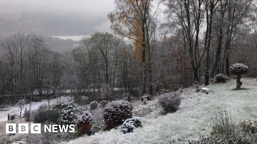
The Met Office has warned that yellow weather warnings for snow and ice could impact travel in Scotland and northern England later.
Scattered showers of rain, sleet and snow are expected overnight into Tuesday, with an ice alert already in place for the north and east Highlands until 10:00.
A second ice warning comes into force at 05:00 until 12:00 on Tuesday, covering much of central and southern Scotland as well as northern England.
A yellow alert for snow affects most of the mainland north of Perth from 03:00 until 18:00 on Tuesday, after the Highlands saw its first snowfall of the season last week.
The Met Office said that 0.8in to 2in (2-5cm) of snow is possible at lower levels and as much as 4in (10cm) on higher ground.
Later, an alert for snow and ice covers all of northern Scotland including Orkney, Shetland and the Western Isles, from 18:00 on Tuesday until 21:00 on Thursday.
Another Met Office yellow warning is in force for snow and ice in coastal areas of eastern England from 06:00 on Wednesday until 18:00 on Thursday.
The UK Health Security Agency (UKHSA) has also issued amber and yellow cold health alerts for northern England and the Midlands which are valid until Friday.
It will turn less cold by the end of the week, with temperatures rising slightly to return to average at the weekend.
ScotRail urged people to take care while travelling and to check the status of their entire journey before heading out.
Stagecoach said customers would be updated about any changes on its app or social media channels.
The Met Office advised that there was a chance of power cuts as well as road closures.
'Conditions turning colder'
A yellow warning means the weather is likely to have some impact for some people, but others will be able to carry on as normal.
People are advised to keep an eye on the latest forecast to work out how much they might be impacted, especially if the weather gets worse.
A Met Office spokesperson said: "Conditions are turning colder this week, with multiple snow and ice warnings in place.
"Wednesday to Friday will be the coldest part of the week, and this period has the greatest potential for impactful weather."
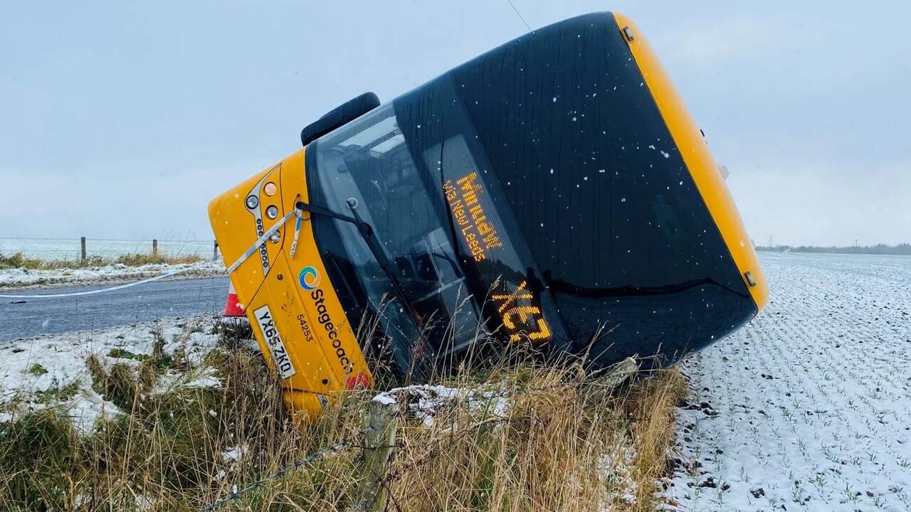
Police Scotland said drivers should ensure their cars are roadworthy before heading out.
Last week, Scottish transport operators outlined their winter resilience plans.
This included stocking up on 497,000 tonnes of salt - more than was used for the entirety of last winter - and preparing 240 gritters to undertake salt spreading and snow ploughing patrols of the trunk road network.
So far, November has been considerably milder than previous years.
Typical overnight temperatures at this time of year range from 2C in Scotland to 5C in the south of England, but they rarely fell into single figures during the first week of November this year.
Temperatures below -10C were recorded in some parts of northern Scotland last November, including Braemar in Aberdeenshire which reached a low of -11.2C.
'Some disruption is likely'
This week's weather will give us an early taste of winter, writes BBC Scotland Weather's Christopher Blanchett.
On Monday night, icy stretches are likely in the far north and across Grampian as rain and sleet showers fall on frozen surfaces.
During the early hours of Tuesday, a frontal system will move in from the Atlantic.
It moves across the Hebrides and then extends across Scotland from the west coast to the east coast during Tuesday daytime.
This will bring the likelihood of a spell of rain, sleet and snow for the first part of Tuesday morning.
The forecast is for 2-5cm of snow on ground above (500ft) 150m across inland areas north of the central belt.
On higher ground and higher road routes, the snow will be heavier, with a greater potential for some disruption.

Some disruption is likely with ice, sleet and snow causing problems for travel during the morning, before easing into the afternoon.
There's a little pocket of less cold air within the system, which means for much of the central belt and south, snow is likely to be on higher ground.
But as the temperature drops on Tuesday night, snow may come to lower levels again for a time.
Bitter north winds will surge across the country on Wednesday and Thursday, with frequent snow showers at sea-level across the north of Scotland and down some eastern and western coasts.
Thursday night could see the coldest spots of the country dip to a bitter -10C.