Are we going to have a white Christmas this year?
BBC | 25.11.2025 08:35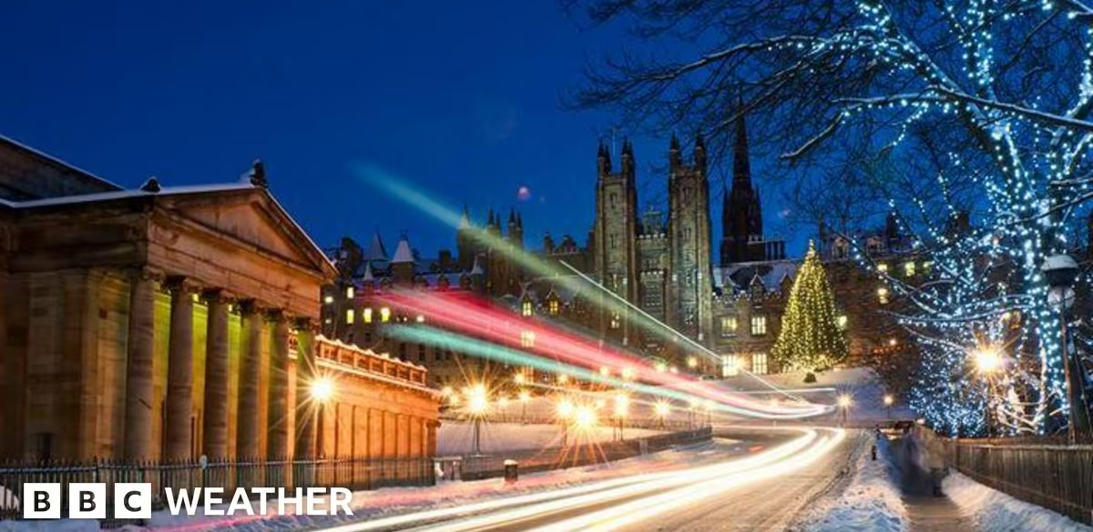
As the nights draw in and festive lights are getting strung up, some of us might start to hope - or dream - of seeing some Christmas snowfall.
Christmas cards often depict scenes blanketed in snow. While this is a rare sight in much of the UK, a 'white Christmas' is more common than you might think.
The definition of a white Christmas means that more than half of all Christmas Days in the UK have seen snow falling somewhere.
So, although the odds are technically stacked in favour of a white Christmas, the detailed festive forecast for this year won't be confirmed for a while yet.
At this early stage, what do we actually know about the chances of this Christmas being 'white'?
What defines a 'White Christmas'?
For a Christmas to be officially considered 'white', the snow doesn't need to be 'deep and crisp and even.'
In fact, just a single snowflake has to be recorded falling at any point during the 24 hours of 25 December at any of the Met Office's network of around 300 observing stations.
The definition has changed over the years and has been broadened to include data from automated weather-recording stations as well as manned or manual sites.
Snow already lying on the ground on Christmas Day may make things look merry and bright, but it does not count under the official definition of a white Christmas.
When will we know for sure that we'll have a white Christmas?
It's still too early to know for sure. The festive forecast will become much clearer about five days before Christmas, so keep an eye on the BBC Weather app or website for the latest updates.
You can also read our thoughts further ahead in our monthly outlook.
Forecasting snow in the UK is notoriously difficult because, as an island nation, it is most frequently influenced by mild Atlantic weather patterns.
However, longer-range weather forecasting models are beginning to show possible trends for the Christmas period, influenced by wider teleconnections - large-scale interactions in which weather patterns in distant regions create atmospheric waves and flows that affect conditions thousands of miles away.
One such potential influence to our winter weather is a 'warm blob' in the Pacific Ocean which could favour higher pressure and colder conditions developing in Europe.
Meteorologists are also keeping an eye on the development of a potential La Niña event over the coming months - the colder phase of the El Nino Southern Oscillation (ENSO) cycle.
Whilst the link between La Niña and UK weather isn't clear cut, the Met Office suggests that historically it promotes high pressure to develop in the Atlantic in early winter. This could mean a higher than average chance of colder weather to start December.
Overall most computer models are hinting at a trend towards slightly calmer and colder conditions developing towards 25 December, so perhaps there's a chance of seeing something white on the big day!
When was the last white Christmas in the UK?
The last time the UK saw a widespread white Christmas was back in 2010, when snow fell at 19% of weather stations, and very unusually, 83% of stations reported snow lying on the ground.
Since 2020, every year except 2024 has officially been a white Christmas. However, in each of these years, very few places reported any snow actually settling on the ground.
What are the "white Christmas" odds?
The chances of festive snowfall vary a lot in different locations, with much better odds the further north and the higher up you venture.
The places most likely to get a white Christmas Day are northern and eastern Scotland, northern England, north Wales and the north-west Midlands.
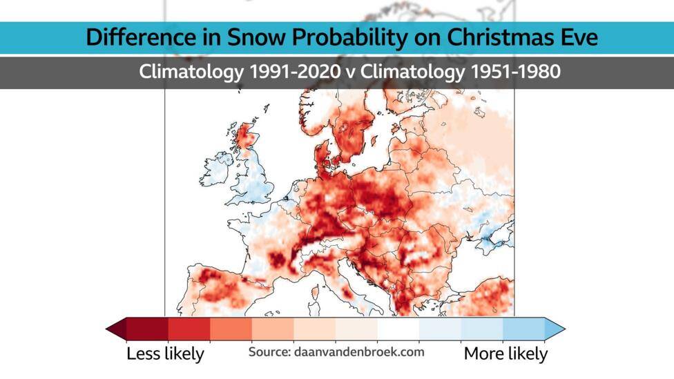
As our climate warms, winters in the UK are becoming milder and wetter.
A rise in land and sea temperatures has generally reduced the chances of a white Christmas, especially when compared to the 18th and 19th centuries.